• Catellite Navigation
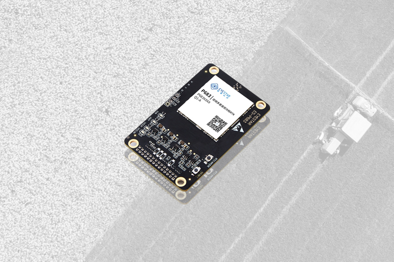
    It is the first to adopt advanced manufacturing processes and supports receiving multi-system and multi-frequency signals such as BDS, GPS, GLONASS and Galileo. It has multiple forms such as modules, boards and terminals, with lower power consumption, stronger performance and smaller size.
  • Inertial Combination
    The Mouxing inertial navigation product series has a built-in advanced full-constellation multi-frequency GNSS chip and adopts the latest combined navigation algorithm engine and IMU array technology to provide high-precision carrier position information in real time, which can well meet the long-term, high-precision and high-continuous navigation application requirements in complex environments such as urban canyons, overpass tunnels and underground parking lots.
  • AI Vision
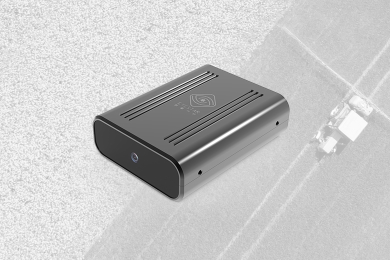
    Superb H1 is a monocular AI camera with the ability to perceive obstacles and their depth information. It integrates a high-performance computing chip, can accurately identify nearly 100 common objects and directly output depth information (distance, direction), without the need for secondary development, it can be used after installation, and is especially suitable for mobile robots, intelligent driving, unmanned agriculture and other fields.
  • Solution
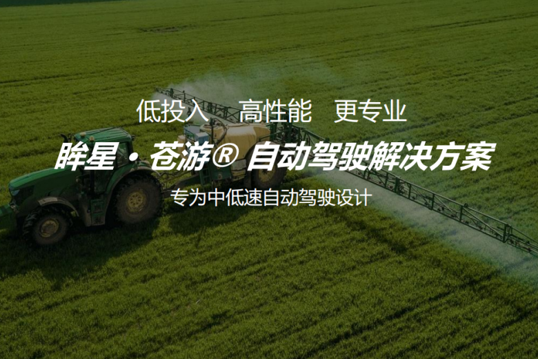
    Cangyou® autonomous driving solution is specially developed and designed for agriculture, forestry, industry and logistics application scenarios. It can immediately help traditional OEMs upgrade to intelligent driving, with flexible adaptation, precise operation, ease and efficiency, greatly improving work efficiency
Leading Beidou/vision/AI integrated positioning perception solution
  • High-precision positioning
    Beidou satellite ground-based enhancement, high-precision positioning ranging from decimeters to centimeters
  • Visual acceleration
    Visual hardware acceleration engine, suitable for medium to high dynamic carrier requirements
  • Ignore obstruction
    GNSS-VIO deep fusion architecture, ignoring environmental occlusion challenges
  • Convenient application
    Simple design, rich interfaces, easy to deploy and use quickly

Rich scenarios and flexible installation

  • Intelligent Driving
  • Robots
  • Drones
  • Precision Agriculture
  • Surveying and Mapping
  • Intelligent driving
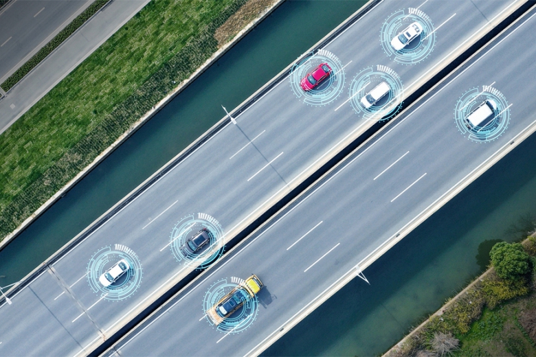
    Moxing Technology has launched a number of high-precision positioning products for different application scenarios of intelligent driving. These products are based on self-developed chips and algorithms. Among them, high-precision positioning products include P683, R680, M683 and other series, and GNSS+IMU combined positioning products include P684, M684, B684 and other series, which meet the needs of various intelligent driving for high-precision positioning.
    Intelligent Driving
  • Robots
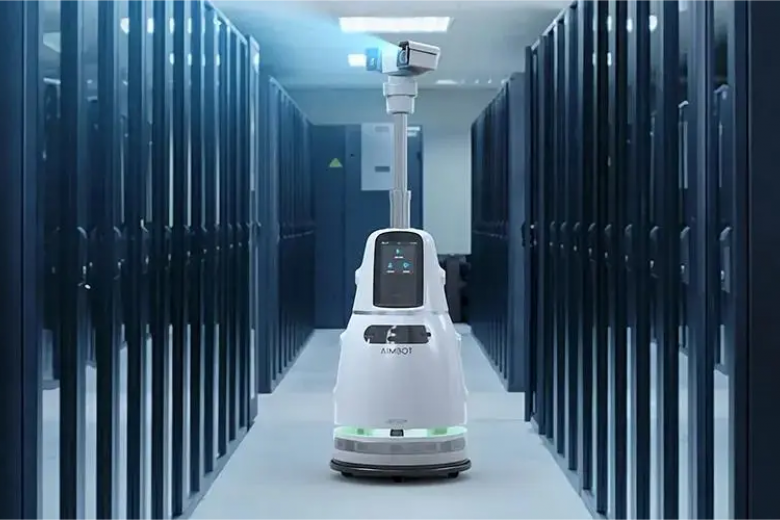
    With the development of technology, medium and low speed outdoor operation robots have entered the application stage. With its high-precision positioning products, Mouxing Technology has achieved real-time positioning with different accuracies of sub-meter, decimeter and centimeter through differential positioning and precision single-point positioning technologies. Combined with vision, IMU, radar and other sensors, it can still maintain high-precision positioning results even in complex outdoor environments.
    Robots
  • Drones
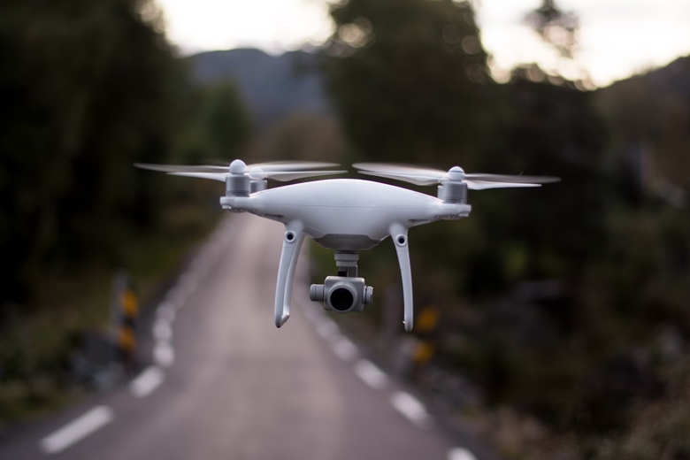
    With the development of technology, drones have been used in all walks of life. GNSS receivers are important sensors that provide navigation and positioning information for drones. Mostar Technology's high-performance, low-power positioning and navigation products can provide real-time positioning accuracy from meters, decimeters to centimeters, meeting the needs of various drone flight control systems.
    Drones
  • Precision agriculture
    Autonomous driving agricultural machinery uses high-precision satellite navigation and positioning information to control the driving direction and throttle of the agricultural machinery through the controller, thereby reducing work overlap. Mouxing Technology Cangyou® autonomous driving solution is specially developed for agricultural, industrial and other application scenarios, and can instantly help traditional OEMs/OEMs achieve intelligent driving upgrades. This solution has flexible adaptation, precise operation, simple and efficient operation, and significantly improves work efficiency.
    Precision Agriculture
  • Surveying and Mapping
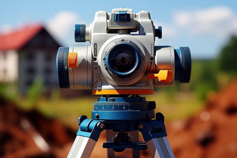
    High-precision GNSSRTK products have become basic instruments and equipment for surveying and mapping units. Mostar Technology's high-precision full-constellation multi-frequency RTK positioning products and full-constellation multi-frequency RTK/INS combined navigation products can meet the measurement needs in different scenarios.
    Surveying and Mapping
Concentrating the core of Beidou and gathering the power of scientific and technological innovation
Eyestar Technology has created three major product lines: satellite navigation, inertial combination, and AI vision to meet the application needs of intelligent driving, robotics, the Internet of Things, etc.
  • Position
    Intelligent positioning perception expert
  • Vision
    Focus on becoming the most trusted partner of global autonomous driving customers
  • Mission
    Driving location perception more accurately and intelligently
  • Values
    Close to customers, serve customers, and achieve customers
All rights reserved @ Beijing Eyestar Technology Co., Ltd 2019-2024 京ICP备19040383号
China-简体中文
/index/index/